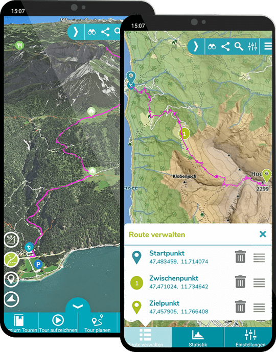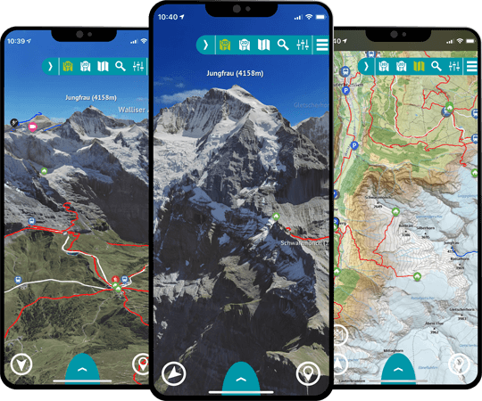


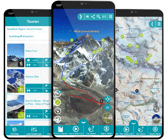


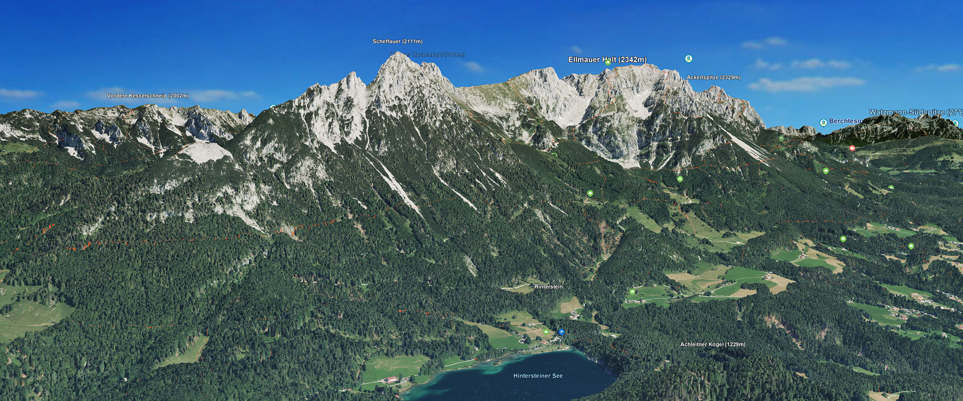

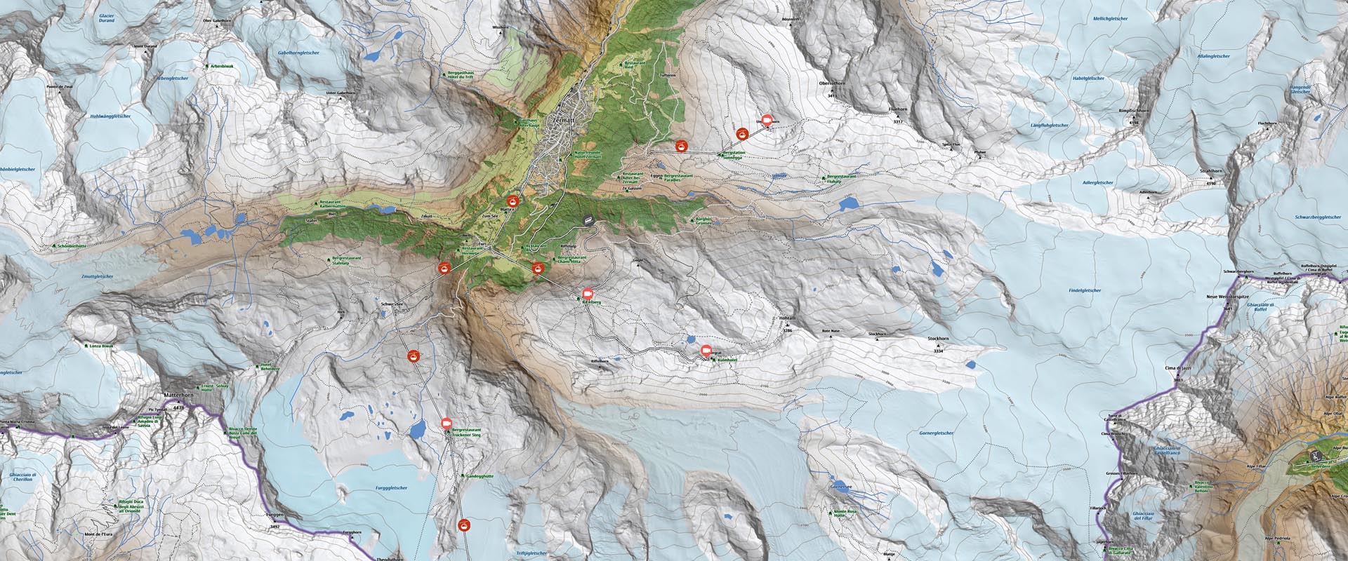
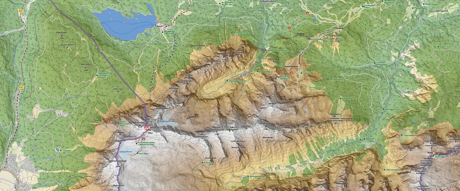
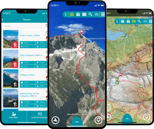
Als angehender Bergführer ist die RealityMaps App für mich das perfekte Tool, um meine Touren detailliert zu planen. Dank ihrer beeindruckenden Detailtreue kann ich mich auch in unbekannten Bergregionen optimal orientieren und meine Routen entsprechend vorbereiten. Meinen Kunden gegenüber ist die App äußerst nützlich, da ich ihnen die geplanten Touren anschaulich präsentieren kann.

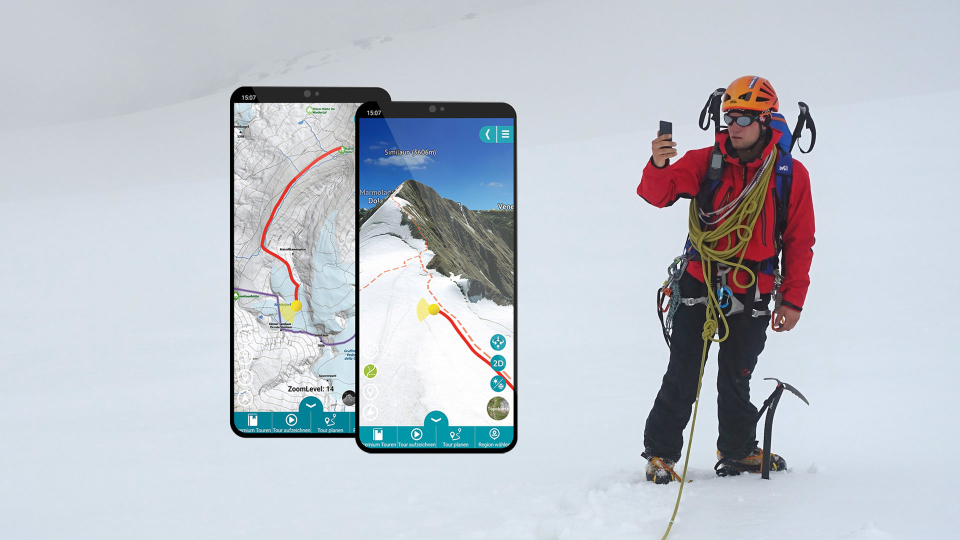
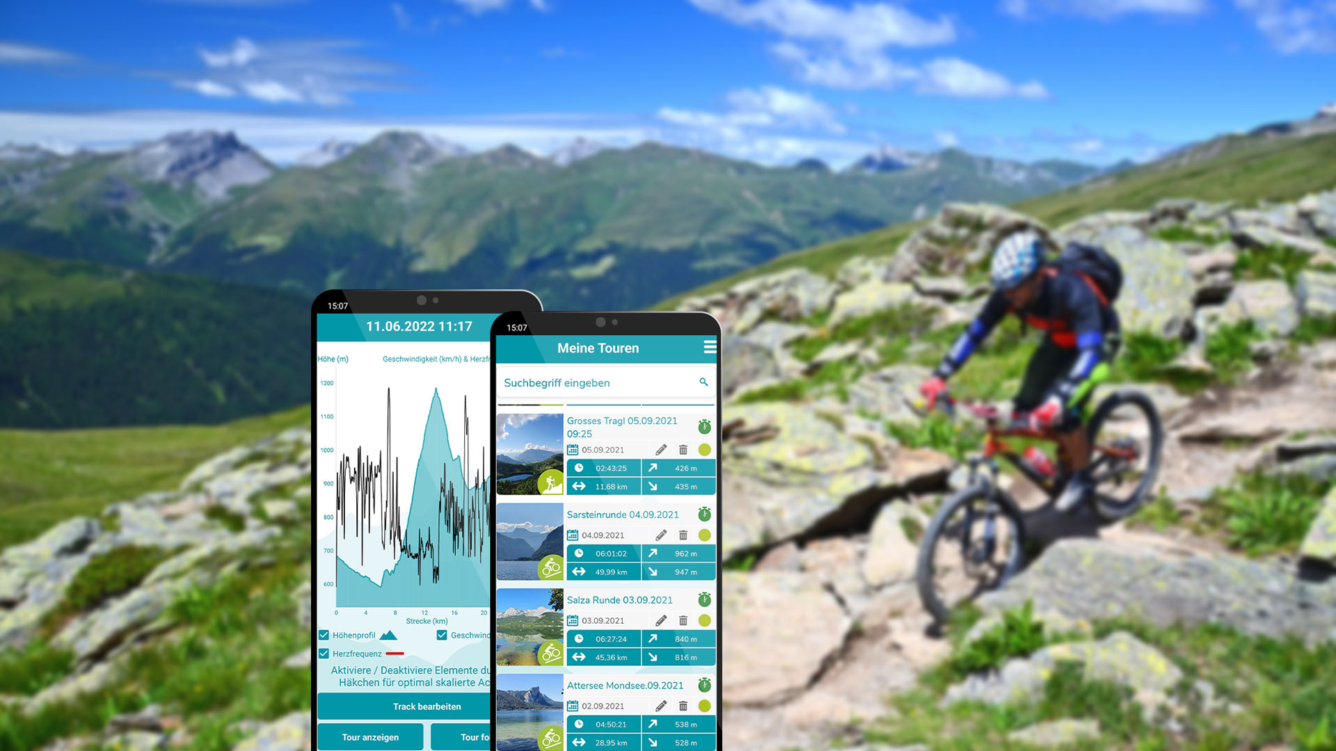
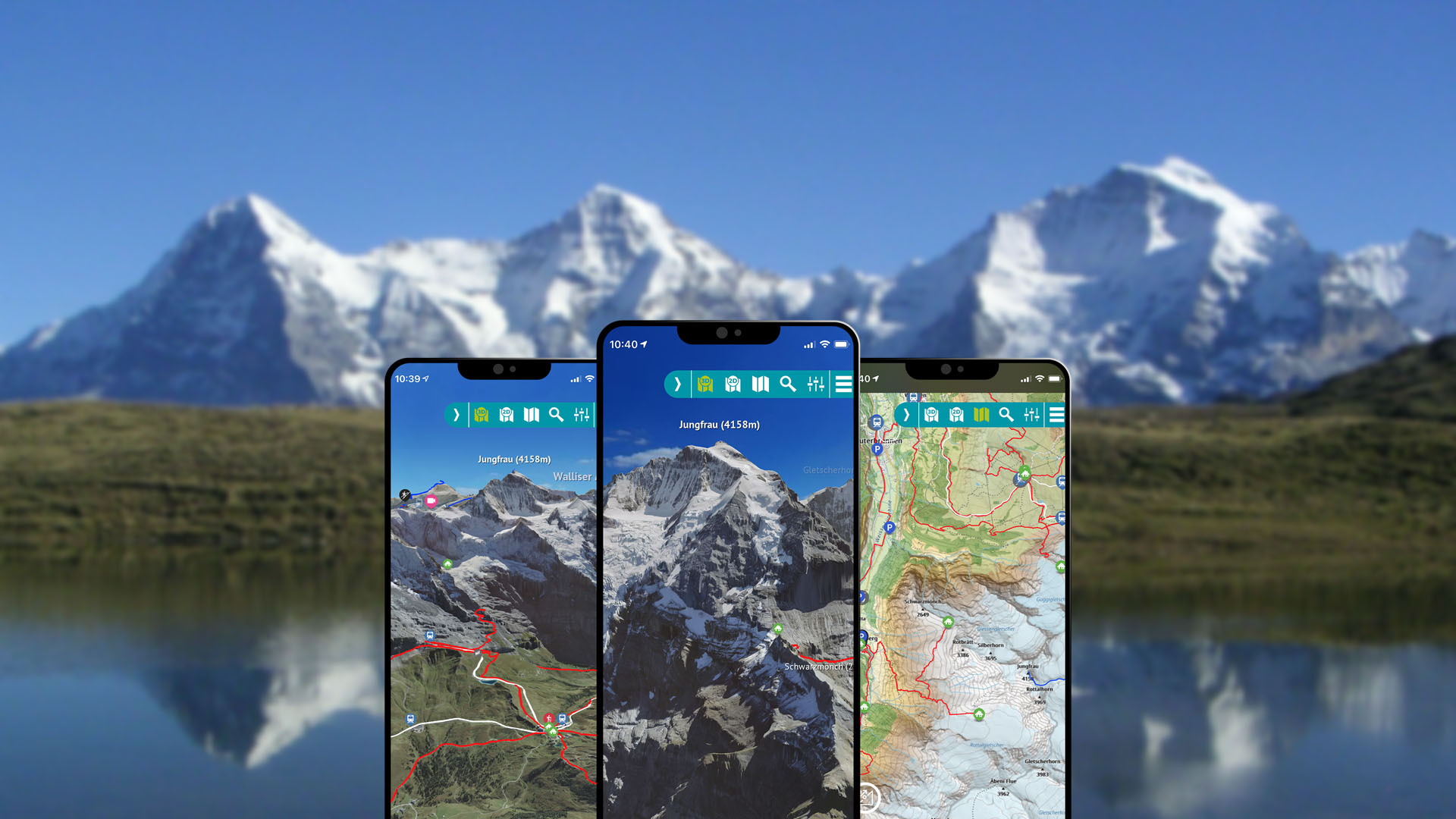
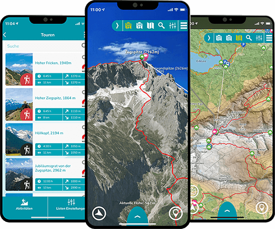
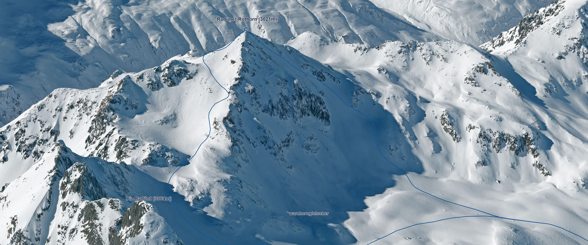
Shows my own position in the 3D mountains and I really like the panorama function.
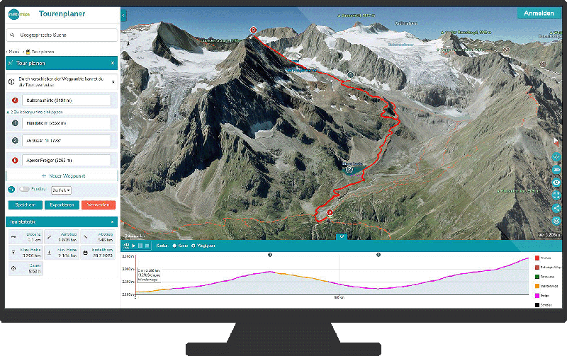
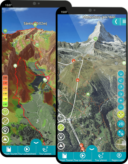
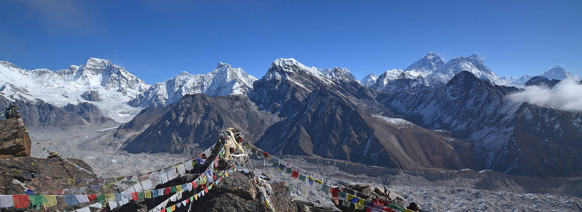
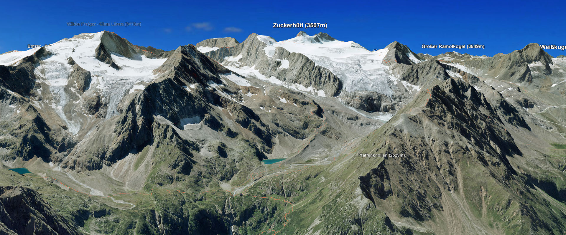
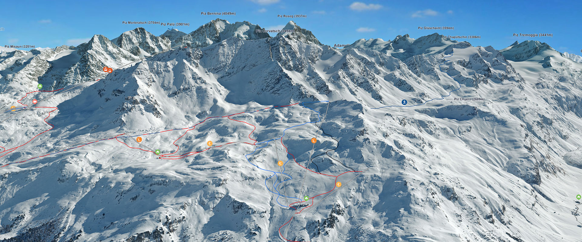
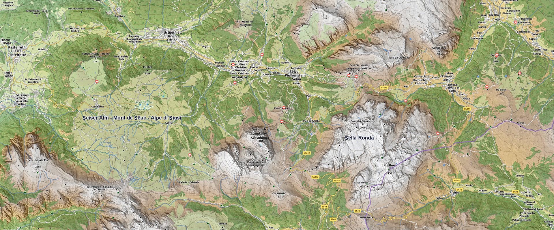
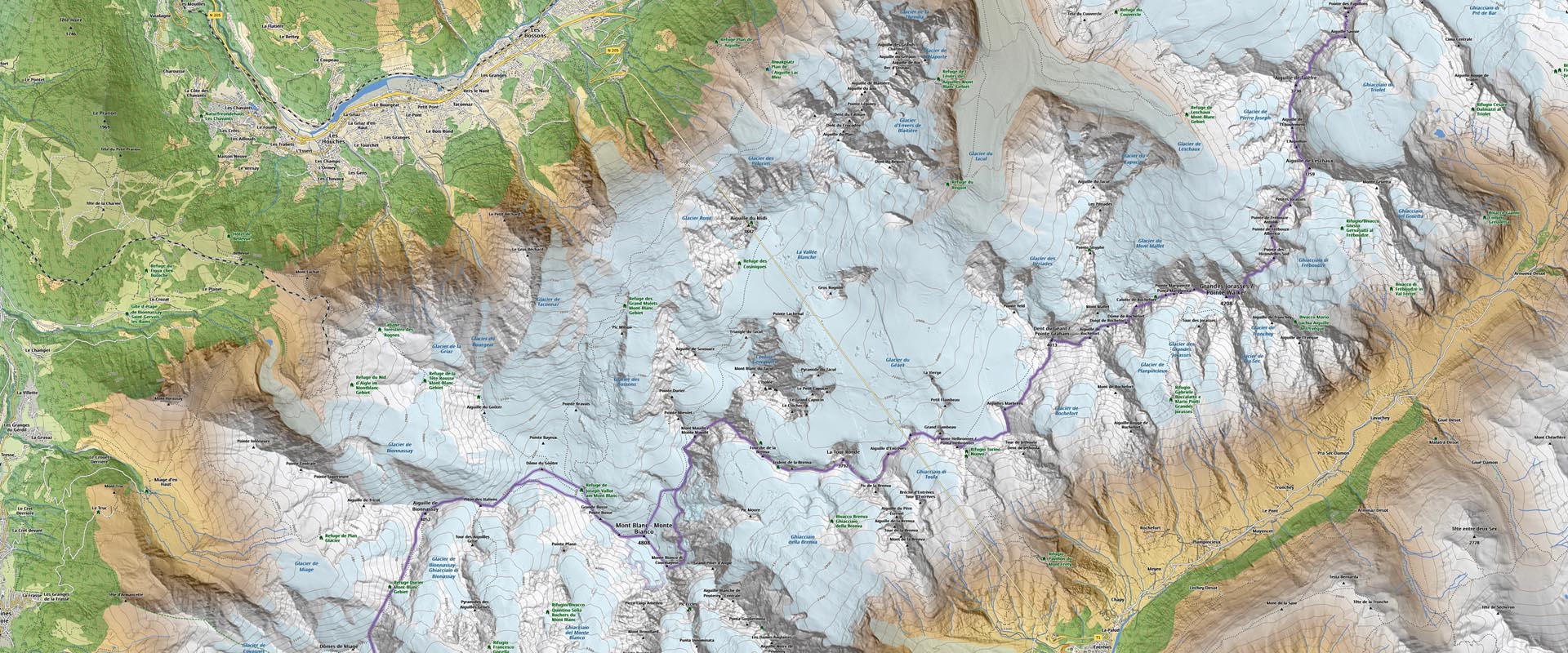
Geniale 3D Ansicht Nutze seit ein paar Monaten die App und den Viewer zur Tourenvorbereitung zum Wandern, Skitouren, Klettern und Segelfliegen [...] Kann sie nur weiter empfehlen 🙂 preislich find ich sie völlig ok - ein Kartenblatt kostet mehr, ist aber ein deutlich kleinerer Ausschnitt und nicht in 3D oder interaktiv nutzbar...
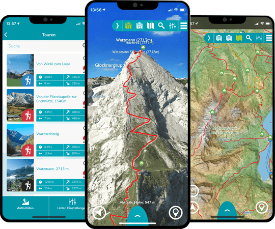
Perfect. The best there is in this field.